

Chicago, Illinois Stock Photos: The Skyline, the River and the Lakefront
504 aerial photos of Chicago, from Marina City and the river to Soldier Field, Wrigley Field and the lakefront
Chicago's skyline and architecture are known around the world, and our drone has covered a lot of it. Our Chicago stock gallery now holds 504 photos, one of the largest in our library. If you need city images for a blog post, a newsletter or a neighborhood guide, this is a good place to start.
What's in the gallery
The collection covers the skyline, the river and the lakefront, plus many of the city's neighborhoods, almost all shot with our drone:
- Aerial views of the Chicago River through the Loop, including Marina City, the riverwalk and the river bridges
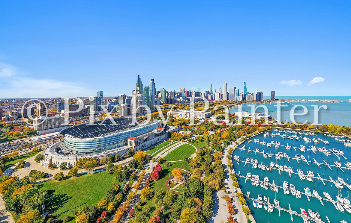
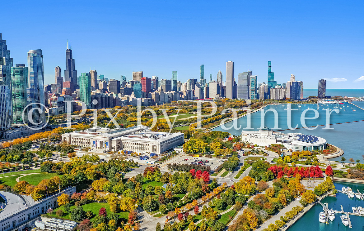
- Soldier Field, Burnham Harbor and the Museum Campus with the skyline behind them
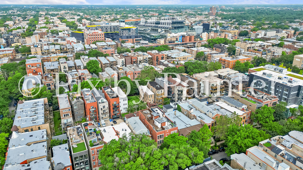
- Wrigley Field and the rooftops around it in Lakeview
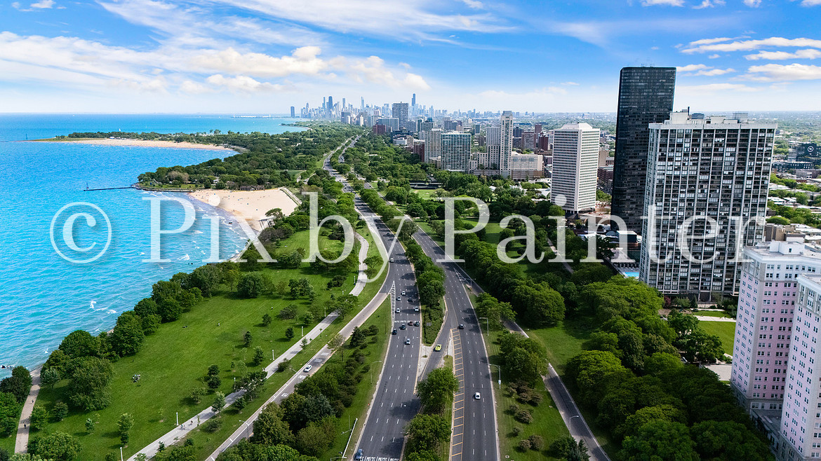
- The lakefront: Lake Shore Drive and the beach in Edgewater, Oak Street Beach and the Rogers Park lakefront
- Downtown towers in River North, Streeterville, the Gold Coast and the South Loop
- Neighborhood streets and rooftops in Lincoln Park, Lakeview, Roscoe Village, Bucktown, Hyde Park, West Ridge and more
- The Metra Grand Avenue yard and the CTA tracks through Rogers Park
- Residential communities such as Glen Lake Condominiums
Who uses these photos
Real estate agents use city photos in blog posts, newsletters and neighborhood guides so buyers get a feel for the neighborhood, not just the home. Local businesses and community groups use them for websites and newsletters. Every photo is high resolution and licensed for editorial use through our Zenfolio gallery.
See the photos
Browse the full set in our Chicago stock photo gallery. Selling a home in Chicago? See our Chicago real estate photography page for listing photos, drone, video, iGuide 360 tours and floor plans.
For more about the city, visit the City of Chicago or Chicago on Wikipedia.